Date: 1/04/2013
Participants: Tom Mahood, Patrick McCurdy (Who is well known to agree to any stupid hike if there’s a lunch at Pappy’s and Harriet’s at the end)
General search area: A reconnaissance trip to the upper northerly slopes of Smith Water Canyon to optically inspect the southerly slopes across the canyon.
Rationale for searching this area:
It was the setup for this: Current Bill Ewasko thoughts, January 2013.
Impressions of area and findings:
Once the climb out of the Upper Covington Flat trailhead was complete, the area was very scenic with huge vistas. Actually sort of flat. Upon reaching the two planned recon spots, we had excellent views across Smith Water Canyon to the upper reaches of the southerly slopes. We spent well over an hour using both binoculars and a spotting scope but failed to observed anything out of the ordinary.
Coverage level:
Visually, it was quite good, and helped refine the search planning for the next big effort, JT45, the south slopes of Smith Water.
Comments:
The panorama below of Smith Water Canyon was stitched together from several images taken at one of the recon points. Previous search tracks were then added with a draw program by hand while comparing the image against a perspective view in Google Earth showing the tracks. They are not 100% accurate but reasonably close.
I also used the opportunity to field test an iPad Mini running the Gaia GPS mapping/topo app. This app allows the user to download USGS topo maps for use offline where there’s no cell availability. I turned on the app at the start of the hike, set it to tracking, locked the screen and placed the “Otterboxed” Mini in an external pouch of my pack for GPS recpetion. Upon completion of the hike 4 1/2 hours later, the battery indicator had decreased from 100% to 97%. Comparison of Gaia’s recorded GPS track to Patrick’s and my Garmin showed it to be consistent within normal consumer GPS accuracy.

Looking northerly after the climb out of Lower Covington Flat.
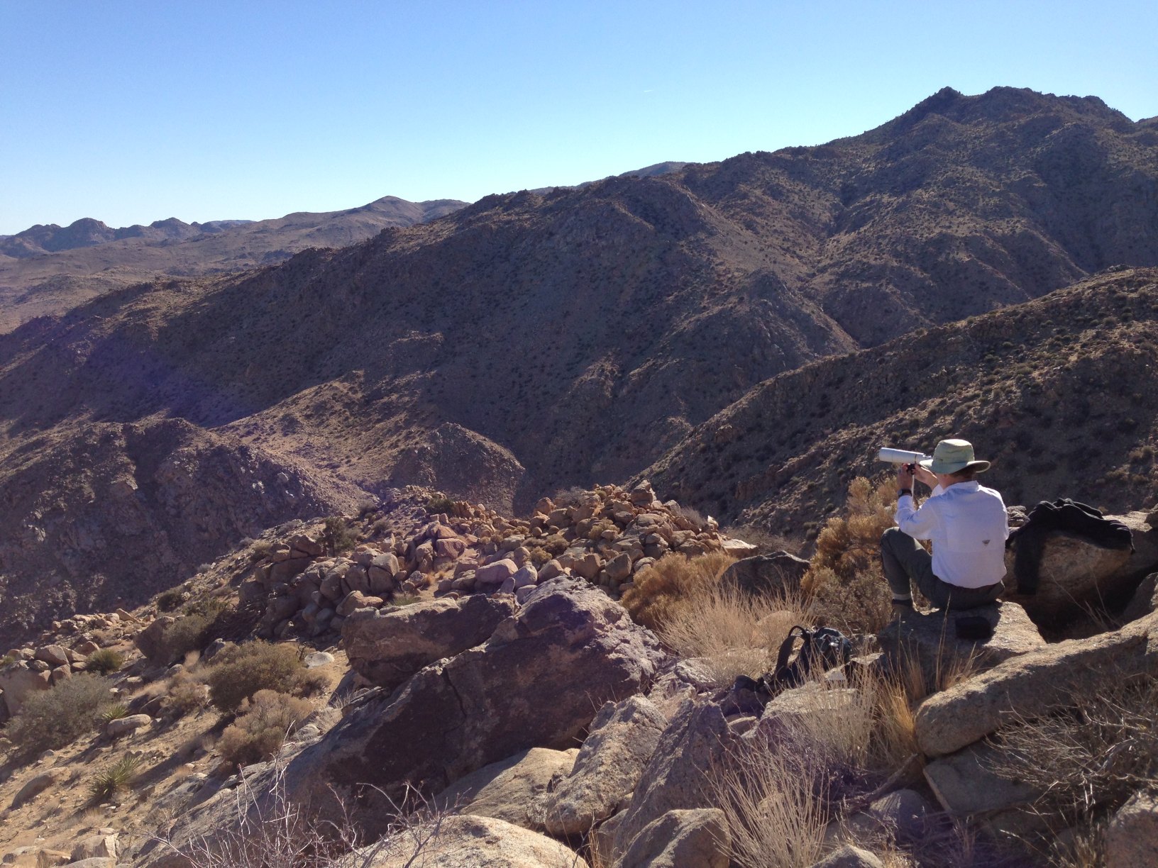
Portrait of an individual who really needs better things to do (by P. McCurdy)
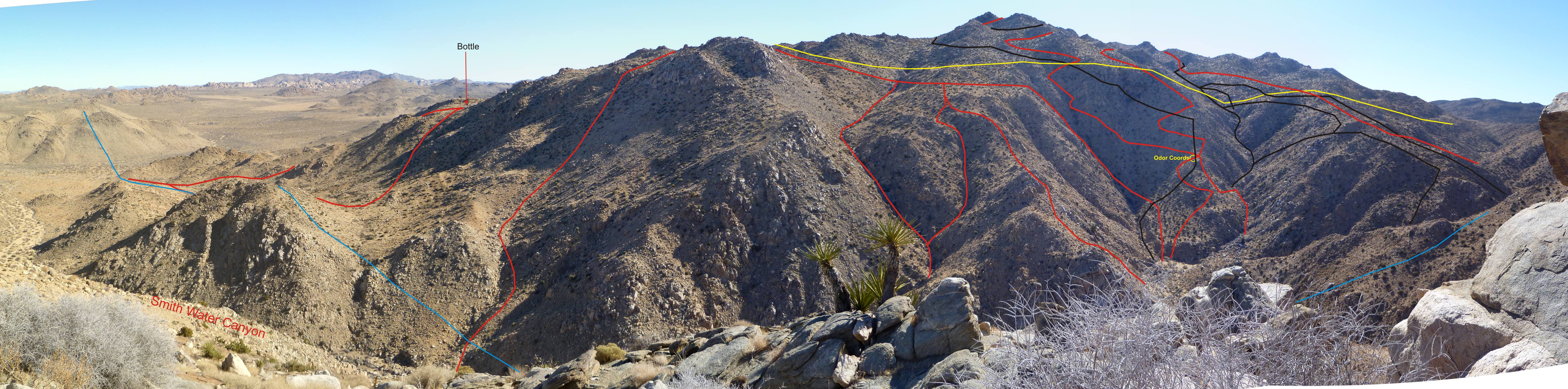
Looking across Smith Water Canyon to southerly slopes. Previous tracks in red and black. 10.6 mile radius in light blue and 11.1 mile radius in yellow. Bottle noted was found during JT42.
GPS mileage for this trip: 9.0 miles
Cumulative GPS mileage to date: 587.2 miles
GPS tracks for this trip in Google Earth kml format
GPS tracks for this trip in Garmin gdb format
GPS tracks for this trip in gpx format
Back to the Bill Ewasko search page