Date: January 25, 2016
Participant: Tom Mahood
General Search Area: The hill formation northwesterly of Samuelson’s Rocks, focusing on areas of Serin Tower cell coverage at the 10.6 mile distance.
Rationale for Search:
Tidying up loose ends. There’s no reason I can offer for Bill to be in this area, but it is one of the very few areas with Serin cell coverage at the magic 10.6 mile radius. The only checking to date has been the top and upper areas of these hills. The intent of this search was to fill in the gaps and close this area out from further consideration. The only scenario that could Bill in a place like this would be if he decided to climb a slope in an attempt to gain cell coverage.
Impressions of Area and Findings:
Fairly tedious area to cover, as it was all side slope and could be a bit tricky at times.
Coverage level:
At least 80% coverage along the path on the hill slopes. These areas were fairly open and the sightlines unimpeded. I can say with confidence Bill’s not in the westerly facing bowl.
Comments:
This. Damn. Place. Again.
Break time’s over and time to get back at it, as it’s been almost a year since I’ve been out there. Waiting for inspiration, ya know? I guessed this was as good a warm up as any. I wanted something mindless and easy, and instead got this. Traversing a steep, rocky slope to fully clear an area turned out to be neither mindless nor easy. But then I do like to complain.
I had a very good view of the mouth of Smith Water Canyon and it gave me a chance to ponder another possibility or two I’ve been considering. Perhaps more about that with a future trip. Not that I think there’ll be many more as I’m out of ideas. Maybe it was aliens.
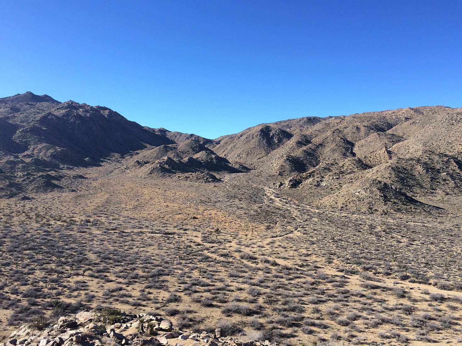
Looking westerly into the mouth of Smith Water Canyon. The actual canyon is the right hand branch. The left area is a large, dead end bowl.

Looking toward the southwest and the bowl containing the dry Quail Springs.
I have no good reason for crossing Quail Wash and doing a loop through a saddle, then a straight line along the toe of the slope other than it looking interesting and might be a pleasant change after coming off the hill. Following that it was a remarkably straight line back to the vehicle to get the hell outta there. Shows what a GPS is good for.
GPS Mileage for this trip: 7.6 miles.
Cumulative GPS mileage to date: 873.7 miles
GPS tracks for this trip in Google Earth kml format
GPS tracks for this trip in Garmin gdb format
GPS tracks for this trip in gpx format
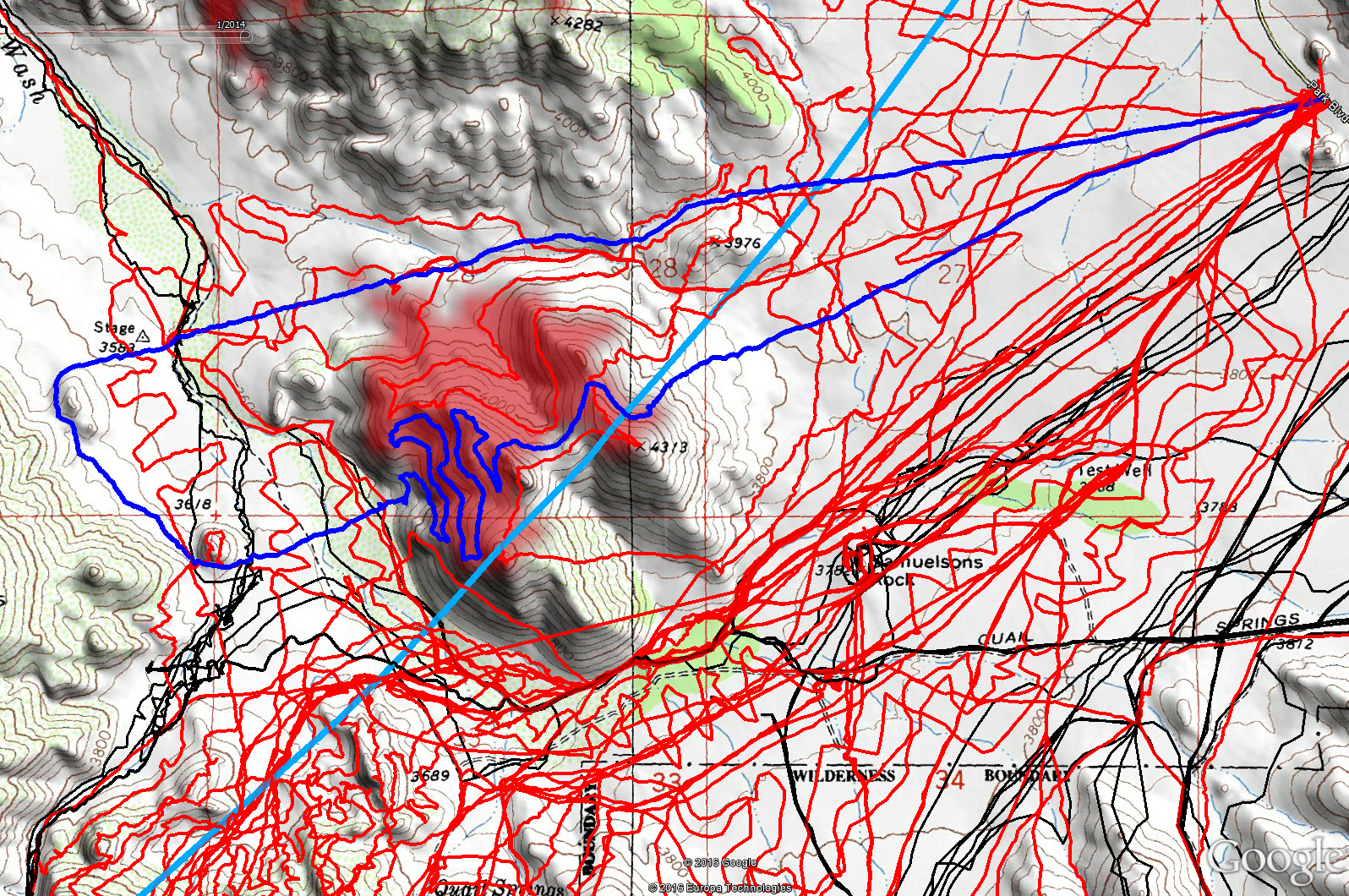
JT80 GPS tracks are shown in dark blue. Tracks from the original search are shown in black and searches since then are shown in red. The light blue line is the 10.6 mile radius from the Serin Drive cell tower. The areas with line of sight coverage from the Serin cell tower are shaded red.
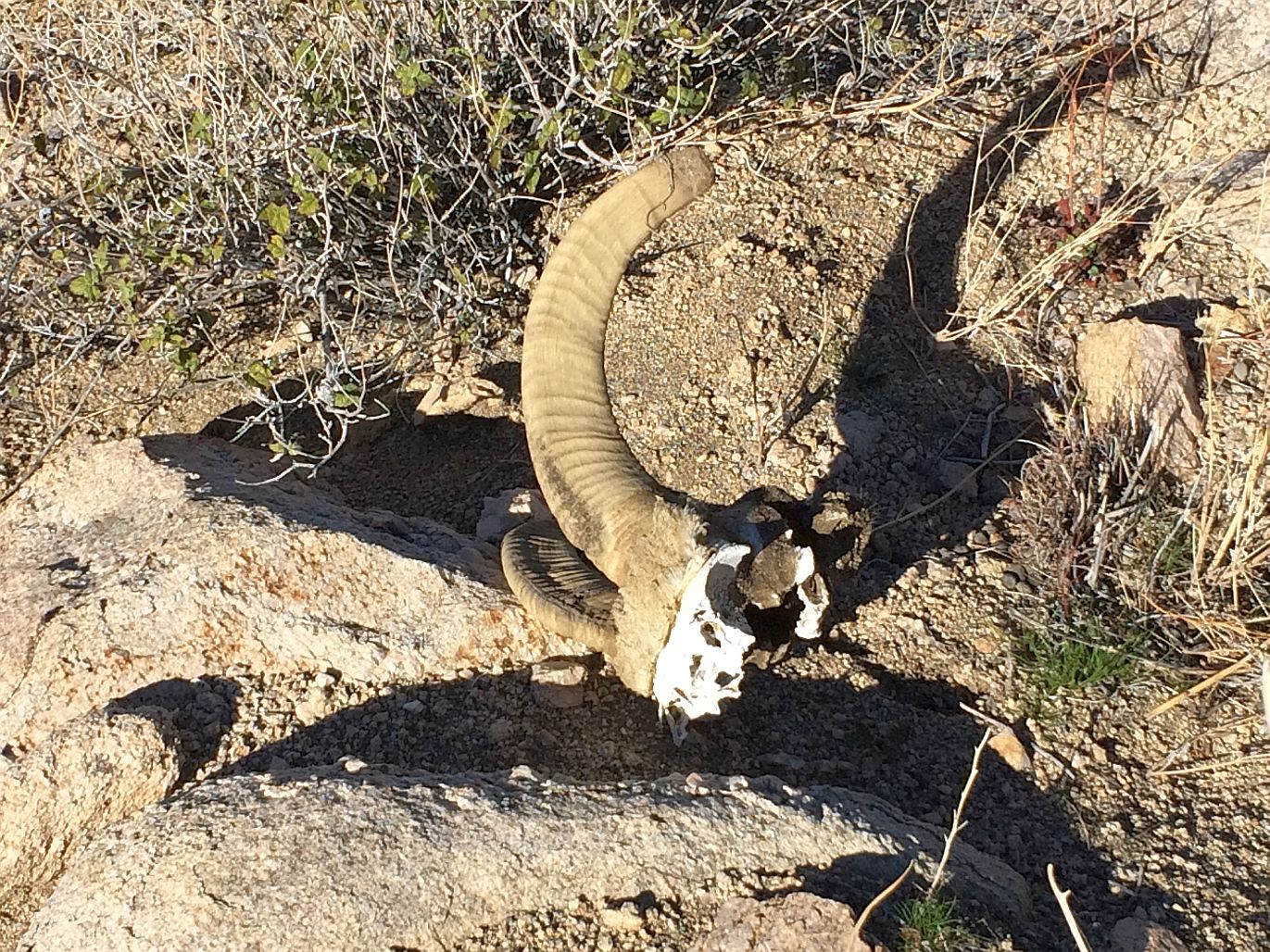
It’s not that I’m not finding stuff, as I clearly do. So my finder isn’t broken.