During a recent trip to Nevada with a couple of my fun flying contraptions, I found myself within striking distance of Rachel, Nevada. In my misguided younger days I had spent an embarrassing amount of time in that vicinity, but it had been around ten years since I last stopped to check things out. It seemed like I was overdue for an Alien Burger! Oh yeah, and I had drones.
I stopped at the southeasterly edge of what passes for “town” and launched my Tri^3 tricopter. It was carrying a Canon SX230 camera and took pictures every two seconds. I held it at an altitude of about 100 meters and flew along Highway 375 from one end of town to the other. It didn’t take long. I ended up with some nice pics of Rachel that might be of interest to visitors. Apparently Rachel still gets a lot of “alien tourism” as when I was enjoying my Alien Burger at the Inn, a couple of Brits came in with their tour guide. I just kept my mouth shut (other than eating my burger).
As point of reference, the images were taken on 4 November, 2014.

A panorama looking northwesterly across Rachel from an altitude of about 100 meters over Hwy 375. The building in the center of the picture, just above the white tank, is the sadly closed Quick Pik minimart and gas station. Just above it and to the Quik Pik’s right is the vacant mobile home park. The area of dead trees just to the upper right of the Quik Pik is the former location of Glenn Campbell’s Area 51 Research Center. The Little A’Le’Inn is the complex of structures on the left side of Hwy 375 in the distance.
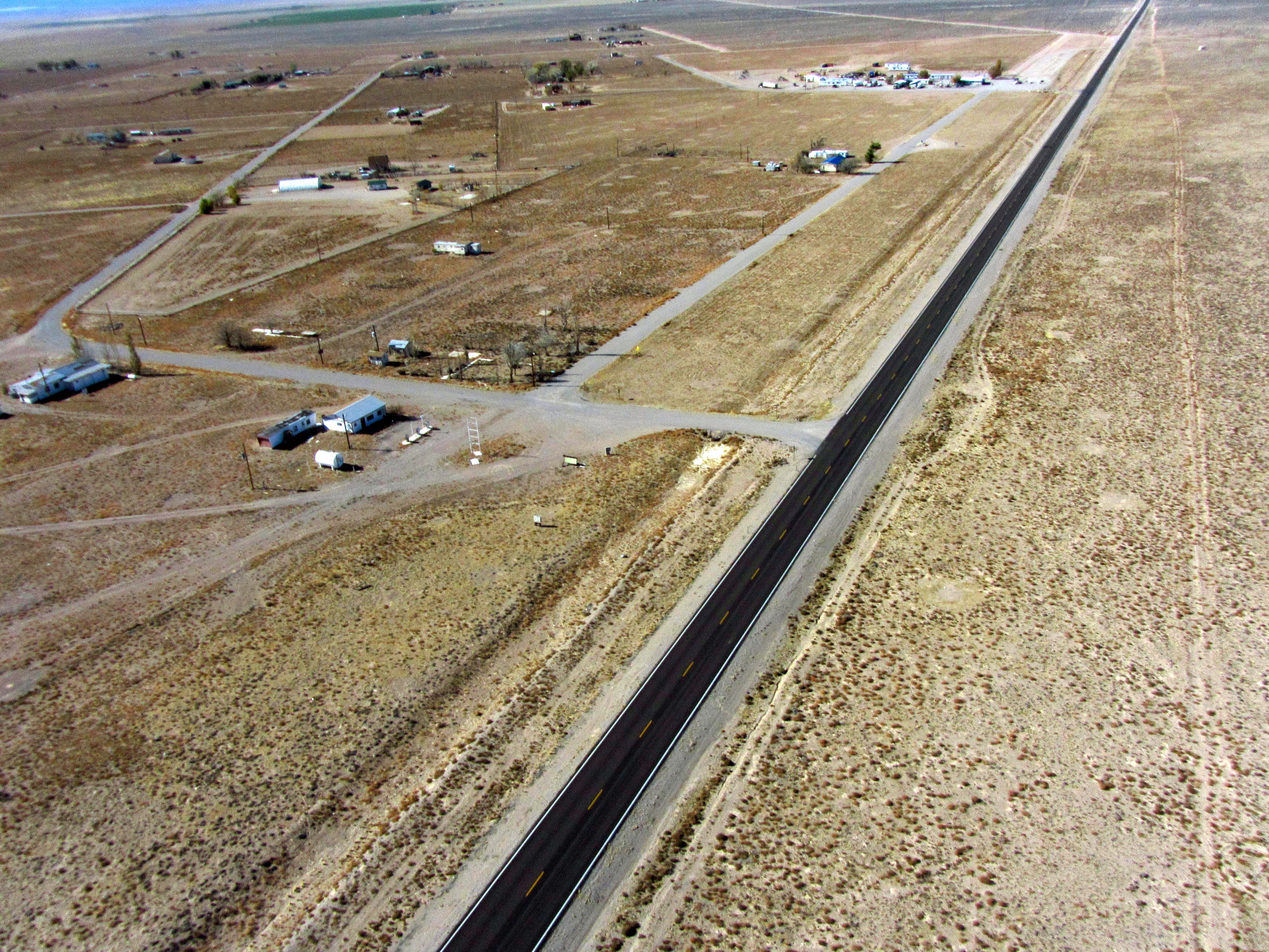
A closer look at the closed Quick Pik and the vacant mobile home park.

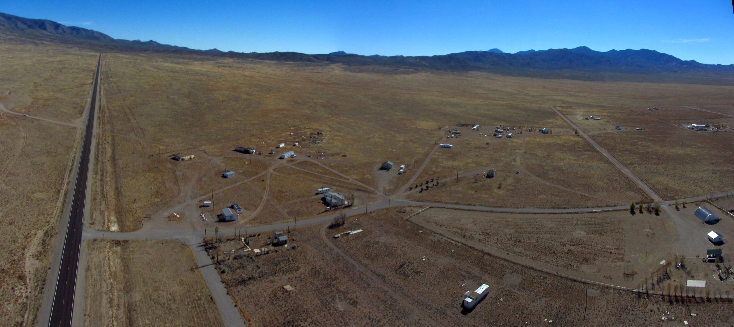
Looking northwest at the Little A’Le’Inn complex from 100 meters. The bar and grill portion is the building at the lower right. The mobile homes provide the rooms the Inn rents out. Pretty damn good food, actually.
Looking south, Hwy 375 disappears over Coyote Summit in the upper left. To the lower left of center is the dead Quick Pik and the site of the Area 51 Research center. To the right of center the distant peak just poking above the closer range of hills is Bald Mountain.
Return to the Area 51 page