I thought this would be a short, simple writeup of an interesting revisit to a site I had discovered many years ago and which has remained surprisingly unknown. Hoping to enhance a brief site visit report with historical context, I did a bit of research into it and things just got out of hand. Turned out most of what I knew about the site, and what has been published, is wrong. This transformed a modest adventure report into a rather large historical project.
As this interesting historical site hasn’t before been revealed (true when I started this project, not so now), I gave considerable thought before identifying its location. I have personal experience with publishing locations of “neat places”, only to see them messed up by the yahoos of the world. As a result I now seldom write about the most interesting places I come across. However after extensively walking this site I’m satisfied there is nothing sensitive left for the yahoos to corrupt.
In the interests of keeping an already long report somewhat manageable, I split it into two parts. The first part, its history, provides the back story and corrects what little is commonly known about the incident. The second part describes how I went about finding the site, then relocating it many years later, and my ultimate mapping efforts.
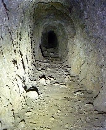
A semantic note: Today we often refer to a small, elevated channel on the side of a hill conveying water as a “flume”. However in the 1870s era such a construction was referred to as a “ditch”. During that period the word flume was defined more toward water channels made out of wood or sheet metal. So speaking precisely, this entire project is about a ditch in San Gabriel Canyon. But “ditch” sounds both unsexy and uninteresting, thusly I will mostly use the modern term “flume” to describe all this crap. So there.
The History of Dave Buel’s East Fork Flume, San Gabriel Canyon
Locating and Mapping Dave Buel’s East Fork Flume, San Gabriel Canyon